On a typical commercial flight, cruising at between 8-12 kilometres above the ground, the view from the window is, often, nothing but clouds. But what if, at an altitude of 20 kilometres, it was possible to observe the ocean? That is the main ambition of AtlantHAPS. By incorporating technology developed by INESC TEC, the project aims to establish a new generation of high-altitude aerial platforms for maritime surveillance and climate monitoring in Portugal.
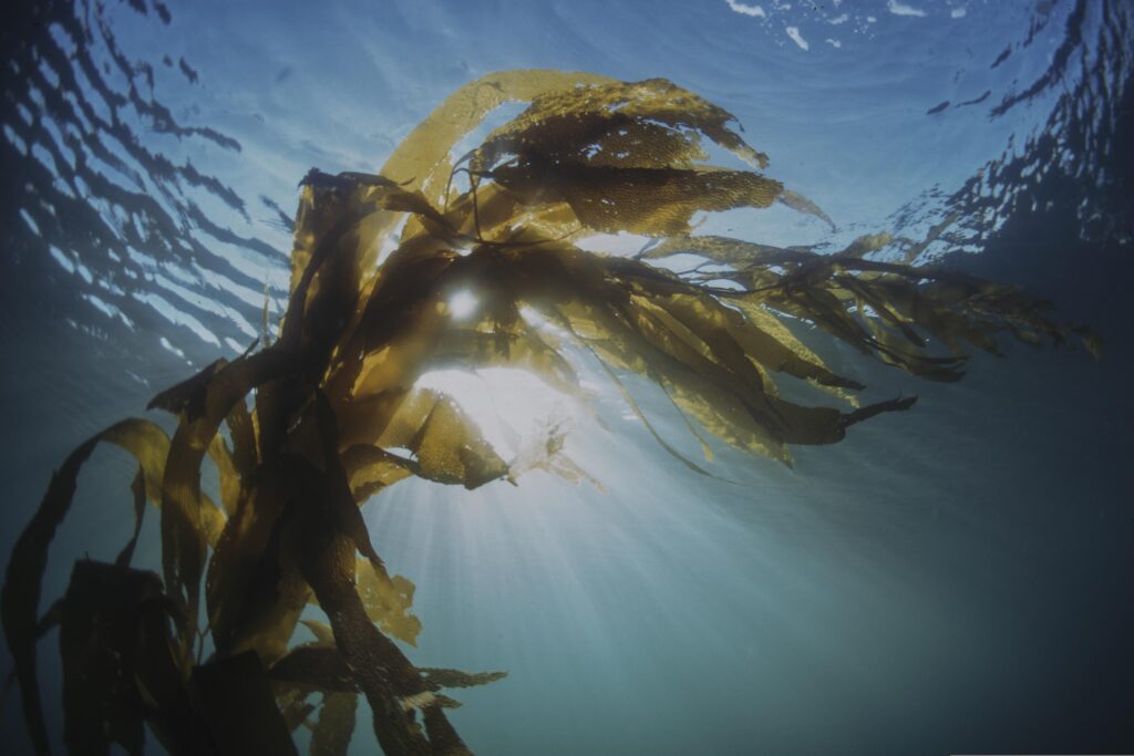
Ocean observation has never been more important than it is today. However, surveillance and monitoring operations are not limited to underwater environments or the sea surface: they can also be carried out from space using satellites. But what if there were a simpler and more practical solution somewhere in between?
The AtlantHAPS project aims to design, develop and validate a new network of High-Altitude Pseudo-Satellites (HAPS). These energy-efficient, industrially scalable aerial platforms can operate continuously at an altitude of around 20 kilometres.
“It is possible to collect Earth observation and communications data in much the same way as conventional satellites, but by operating within the Earth’s atmosphere rather than in space,” explained Sara Freitas, the INESC TEC researcher involved in the project.
There are multiple benefits; with direct application in maritime surveillance, climate monitoring and emergency communications, pseudo-satellites offer a more cost-effective alternative. “They significantly reduce launch costs when compared to traditional satellites,” said Sara Freitas.
According to the researcher, the technology also offers several other advantages that make it an attractive solution. Because they operate at much lower altitudes, pseudo-satellites can capture higher-resolution images while still covering a substantial area. “This creates a very attractive balance for Earth observation tasks,” she explained.
“The advantage of operating at an altitude of 20 kilometres, in the stratosphere, is that the platform flies above clouds and adverse weather conditions, allowing it to monitor a considerable area of the Earth’s surface,” added Sara Freitas.
These qualities also make operations more flexible, allowing the platforms to land for maintenance, upgrades and payload replacement according to the observation objectives and the data to be collected. They also offer lower data transmission latency and greater operational flexibility, as they can be repositioned much more quickly than conventional satellites.
Flights with potential “layovers”
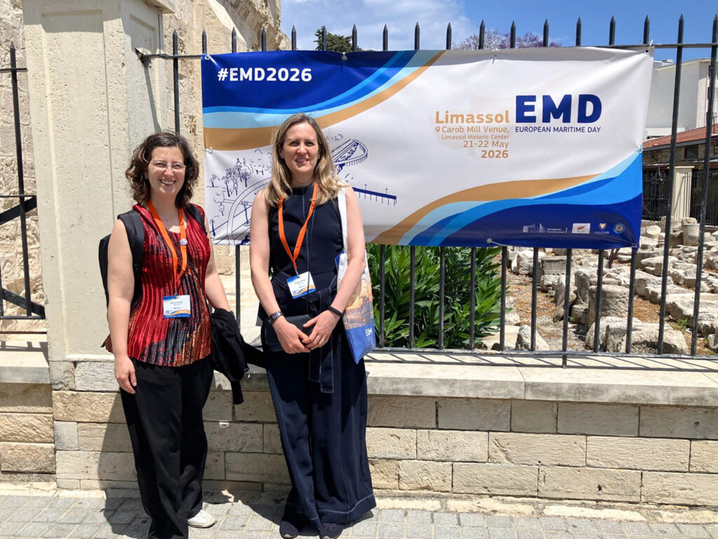
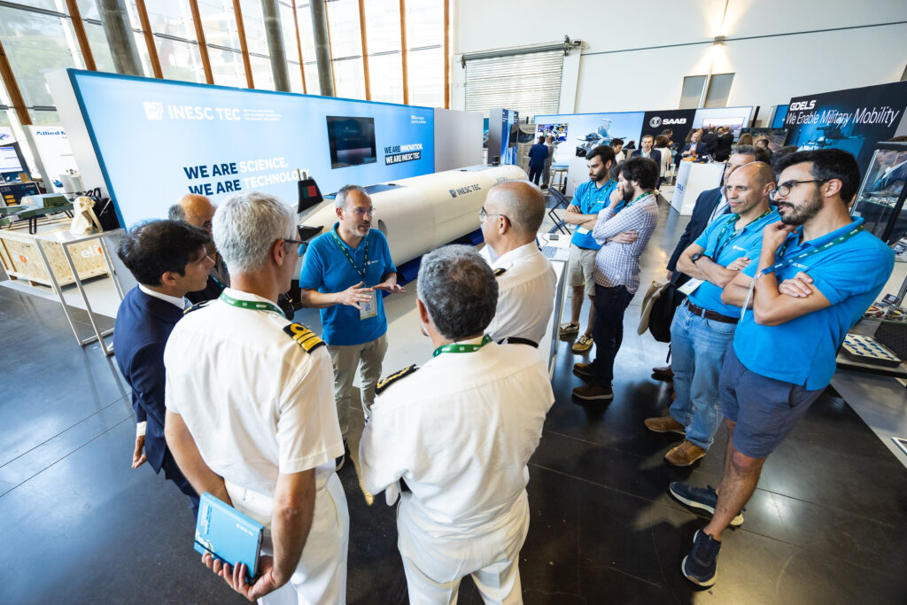
AtlantHAPS is funded under the Portugal 2030 Mini Agendas programme and is led by UAVision, towards fostering productive innovation. Running until the end of 2028, the initiative brings together seven additional Portuguese partners, including INESC TEC.
The Institute’s contribution focuses on the development of enabling technologies, including high-throughput communication systems – capable of supporting continuous, high-speed, large-scale data transmission – and modular payloads.
In this context, the payload refers to the sensor package integrated into the pseudo-satellite that enables data collection during flight. More specifically, INESC TEC will develop a modular, multi-mission payload capable of being adapted to different operational scenarios, allowing it to move efficiently between the workshop and the stratosphere as many times as necessary.
Because the payload is modular, “it is necessary to define a functional architecture that enables seamless integration with the HAPS communication, control and power systems,” explained Sara Freitas. The payload will also support different types of sensors, including thermal cameras, visible-spectrum imaging sensors, radar and others, allowing adapted configuration according to each mission.
This presents a significant engineering challenge, as integrating these technologies requires careful consideration of constraints related to weight, size, power consumption and available onboard processing capacity.
INESC TEC will also be responsible for processing and validating the data collected during flight. “We will also carry out onboard processing of the collected data, including compression and preliminary analysis, in order to optimise bandwidth usage and storage,” said the researcher.
“I believe that observing the ocean requires a three-dimensional and integrated approach that allows us to analyse it from every perspective: from space to the deep sea. AtlantHAPS acts as a connecting link within this three-dimensional observation framework, laying the foundations for a future national constellation of pseudo-satellites,” highlighted Sara Freitas.
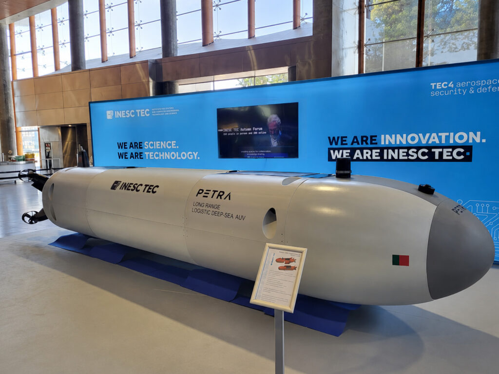
According to the researcher, the platform will also support the underwater systems that INESC TEC has been developing, particularly within the activities of the INESCTEC.OCEAN Centre of Excellence.
By combining the data collected from both the atmosphere and the ocean, the project will not only improve the performance of the technologies under development but also contribute to a more comprehensive and fully integrated three-dimensional understanding of the ocean.